
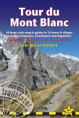
At 4810m (15,781ft), Mont Blanc is the highest mountain in western Europe, and one of the most famous mountains in the world. The trail (105 miles, 168km) that circumnavigates the massif, passing through France, Italy and Switzerland, is the most popular long distance walk in Europe.
62 maps – 12 town and village plans and 50 large-scale walking maps – at 1:20,000 – showing route times, gradients, where to stay, interesting features
Itineraries for all walkers – whether walking the 105 mile (168km) route in its entirety, or sampling the highlights on day walks and short breaks
Practical information for all budgets – where to stay (campsites, g?tes, hostels, B&Bs, lodges and hotels), where to eat, what to see
Comprehensive background information – the Alps, flora and fauna, the history of mountaineering and trekking in the region and the conquest of Mont Blanc in 1786 by Bourrit and Balmat
Full public transport information – for all access points
Climbing Mont Blanc – practical information, guides, the route to the top
Author: Jim Manthorpe
Binding Type: Paperback
Publisher: Trailblazer Publications
Published: 12/19/2023
Pages: 220
Weight: 0.45lbs
Size: 6.80h x 4.80w x 0.80d
ISBN: 9781912716364
Language: English


Reviews
There are no reviews yet.